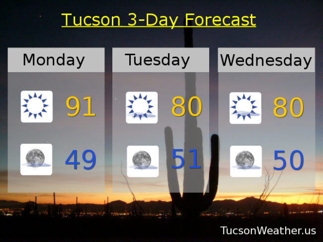
Our hottest Thanksgiving weekend on record has come to a close, but what a finish! 92 yesterday obliterated the old record of 86 set in 1950 and hit again in 1998. It was also the latest day in a calendar year to hit 90 degrees or higher. A record we will likely eclipse today! Even persistent weather patterns change eventually and we have big changes coming. Storms moving into the Great Basin will push our high outta here and we’ll start to cool down. Highs of 80 the next few days is still 10-12 degrees above average, but obviously cooler than low 90s. Then an actual storm heads our way be the end of next weekend for a chance for rain Saturday night into Sunday and highs near 70! It’s a ways off, so we’ll keep an eye on the details as we get closer. Stay tuned!
Sunny today with a record high in the low 90s.
Partly cloudy tonight with a low in the upper 40s to near 50.
Mostly sunny tomorrow with a high near 80ish. Near 80 Wednesday, Thursday and Friday. Mostly sunny Saturday upper 70s. Near 70 Sunday with a chance for rain showers.