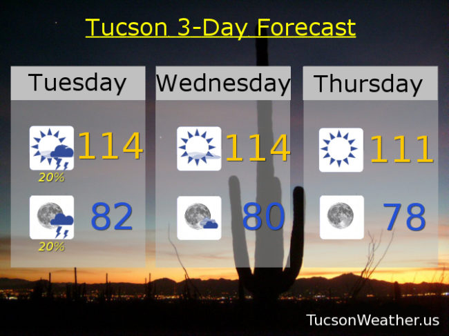
115 yesterday tied the record high set last year. EXCESSIVE HEAT WARNING still in effect through Saturday evening. Today looks very interesting. Very hot and very interesting. First we have leftover clouds (mmm leftovers) from yesterday’s shower activity to our east along with an increase in moisture. As a result of the cloud cover overnight we are starting the day at a balmy 88 – 90 degrees. Yikes! It’s not like we need a head start on this afternoon’s expected record high of 114. A few thunderstorms are possible this afternoon and evening with that moisture increase. Any storms will have more wind and lightning than rain, but someone could get a nice shower. Otherwise gusty winds near storms and lightning that could cause fires. Good times. The heat continues tomorrow near 114 and another record. Then some hope in sight. 111ish Thursday. Only 110 Friday! 111 Saturday. Chance for storms Sunday 110. Chance for storms Monday 108.
Today’s forecast – 114, Record – 112
Tomorrow – 114, Record – 112
Thursday – 111, Record – 114