Category Archives: Daily Forecast

Forecast for Friday, March 16, 2018

It’s Friiidaaay!!!

Our next storm approacheth. Our exiting system that brought snow to northern Arizona cooled us off quite a bit yesterday with a high of 70. A little warmer today as slight ridging occurs ahead of our next storm currently off the northern California coast.

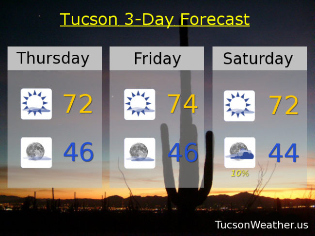
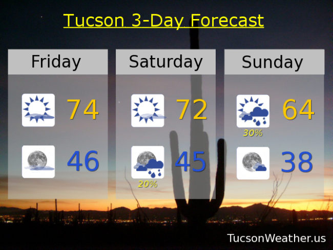
High clouds, thick at times, today with a high in the mid 70s.

Partly cloudy tonight with a low in the mid 40s.

Mostly sunny tomorrow with a high in the low 70s.

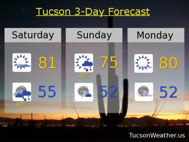
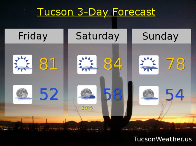
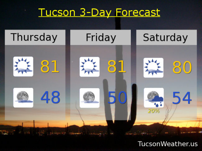
Then our system moves into Arizona Saturday and moves through Sunday. Pretty good chance for showers but they should be on the light side Saturday night and Sunday morning. Only expecting a tenth of an inch or less in valley locations. A little bit of snow above 6,000 feet in our local mountains. Showers likely ending by Noon Sunday with a high only in the mid 60s.

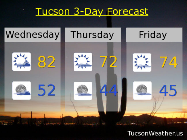
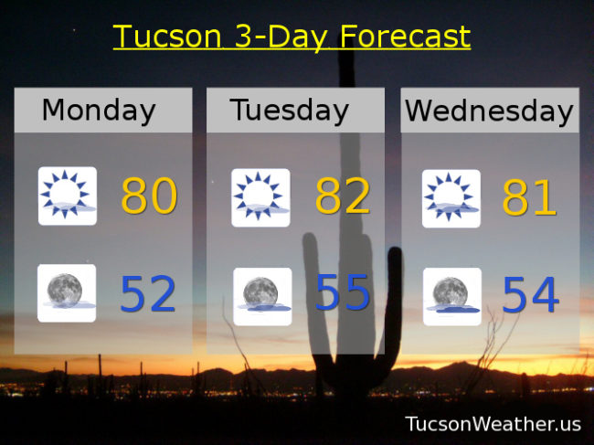
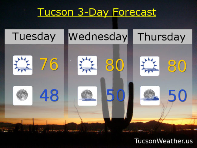
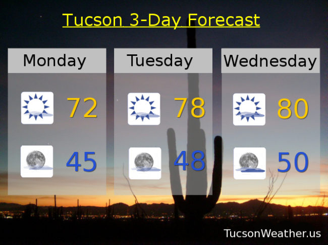
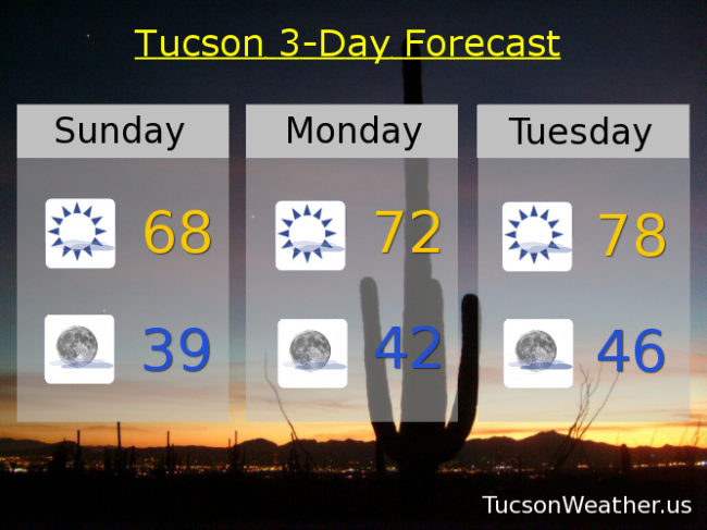
Mostly sunny Monday after a chilly start (mmm chili) with a high in the upper 60s to near 70. Upper 70s Tuesday. Mid 80s (or warmer) Wednesday. Low 80s Thursday. Enjoy!

Forecast for Thursday, March 15, 2018

A couple of storms missing us to the north will kick up our breezes a bit and knock our temperatures back below average through the weekend. A slight chance for a few showers Saturday night otherwise high and dry. Warming up quickly next week as high pressure builds back in. Spring has sprung!

A mix of clouds and sunshine today and a bit breezy. West winds 5-15 mph and gusty with a high in the low 70s.

Mostly clear tonight with a low in the mid 40s.

Mostly sunny tomorrow with a high in the low to mid 70s. Low 70s Saturday. Slight chance for rain Saturday night near 40. Mostly sunny Sunday upper 60s. Low 70s Monday. Upper 70s Tuesday. Low 80s Wednesday.

Forecast for Wednesday, March 14, 2018

Depends on who you are I guess, but I think I have a bit of bad news. Our decent shot of rain this weekend has pretty much evaporated as it looks like the storm track will stay too far north. We will get to enjoy some breeziness and cooler temperatures as a series of storms miss us to the north, so there’s that.

Partly sunny today and warm with a WSW breeze 5-15 mph this afternoon. Today’s high in the low 80s.

Mostly cloudy tonight and maybe some sunset enhancement. Maybe. With a low in the low 50s.

Partly cloudy and cooler tomorrow with west winds 5-15 mph and gusty with a high in the low 70s. Mid 70s Friday. Low 70s Saturday. Slight chance for a shower Sunday upper 60s. Mostly sunny low 70s Monday.  Upper 70s Tuesday.

Forecast for Monday, March 12, 2018

Looks like more rain on the way by the end of this week. Maybe even a few sprinkles sooner than that. Maybe. High pressure building in for the next couple of days with highs in the 80s. Then a deepening trough of low pressure off the west coast will start to sling some disturbances in the force our way with the main low moving across southern Arizona this weekend. There are still differences in the computer models on how all of this will go down so stay tuned for details as we get closer. Right now we’ll just broad brush a chance for showers Friday night and Saturday perhaps lingering into Sunday. Stay tuned!

Mostly sunny today and warm with a high near 80.

Mostly clear tonight with a low in the low 50s.

Mostly sunny tomorrow with a high in the low 80s. Low 80s Wednesday. Mid 70s Thursday. Slight chance for showers Friday mid 70s. Better chance for showers Saturday and breezy upper 60s. Slight chance for showers Sunday upper 60s.

Forecast for Saturday, March 10, 2018

The good news is the computer models as interpreted by the humans at the National Weather Service are saying that our chance of rain tonight into tomorrow morning has gone up to 30%. The bad news is we are still expecting rainfall amounts to be on the light side. Maybe a tenth or less for valley locations. The good news is it looks like a more significant storm should arrive by Friday into next weekend for a better chance for rain and mountain snow.

Partly sunny today with a warm high near 81ish.

Mostly cloudy tonight with a chance for light rain showers and a low in the mid 50s.

Partly sunny tomorrow with a chance for morning showers and a high in the mid 70s.

Mostly sunny Monday near 80. Low 80s Tuesday. Near 80 Wednesday. Mid 70s Thursday. Scattered showers Friday near 70.

Forecast for Friday, March 9, 2018

The high clouds have passed. For now. Mostly sunny today with still a few high clouds around for possible sunrise and sunset enhancement. Warm with a high near 81ish.

Partly cloudy tonight with a low in the low 50s.

More high clouds in here tomorrow. Call it partly sunny and warm with a high near 84.

Slight chance for light rain tomorrow night, so not expecting much. Low in the upper 50s.

Partly sunny Sunday upper 70s. Mostly sunny Monday near 80. Low 80s Tuesday and Wednesday. Partly sunny Thursday mid 70s. Perhaps a stronger storm in here by next weekend. Perhaps. Stay tuned!

Forecast for Thursday, March 8, 2018

Happy Friday Eve! (makes the weekend seem closer)

High clouds, thick at times, still streaming our way from the south and southeast into the weekend. A disturbance in the force should provide some light showers late in the weekend, but amounts should be minimal. Staying warm as the main storm track stays to the north.

Considerable high cloudiness today but still warm. The clouds may be too extensive for sunrise and sunset enhancement. We’ll see. High in the low 80s.

Mostly cloudy tonight with a low in the upper 40s.

Less high cloudiness tomorrow. Call it mostly sunny with a high in the low 80s. Partly sunny Saturday near 80. Slight chance for light rain Saturday night into Sunday with a high in the mid 70s. Mostly sunny Monday upper 70s. Sunny Tuesday upper 70s. Near 80 Wednesday. Enjoy!

Forecast for Tuesday, March 6, 2018

Clouds have invaded southern Arizona! They will gradually start to thin leaving mostly sunny skies this afternoon and warming up to near 76ish.

Clear skies tonight with a low in the upper 40s.

Mostly sunny tomorrow with a high near 80. More clouds Thursday, Friday and Saturday with a few sprinkles to our south maybe. Highs near 80, low 80s and upper 70s respectively. Slight chance for some light rain Sunday 78. Near 80 Monday. Enjoy!

Forecast for Monday, March 5, 2018

Warming up after yesterday’s cooler day. You probably noticed the high clouds this morning. Hopefully well have some sunrise and sunset enhancement possibilities as we go through this week. High pressure building in for a warming trend until a weak system moves in by the end of the weekend. A chance for light rain (half the calories of our regular rain) by Sunday. Enjoy!

Mostly sunny today with a high near 72ish.

Mostly clear tonight with a low in the mid 40s.

Mostly sunny tomorrow upper 70s. Near 80 Wednesday. Partly sunny Thursday and Friday low 80s. Mid 70s Saturday as our storm appraocheth. A chance for showers Sunday mid 70s.

Forecast for Sunday, March 4, 2018

It’s easy like a Sunday mornin’ this mornin’. Lots of sunshine today with maybe a few high clouds from time to time for possible sunset enhancement. A little breezy this afternoon as a system misses us to the north. WNW winds 5-15 mph and gusty with a high in the upper 60s.

Mostly clear tonight with a low in the upper 30s to near 40.

High pressure building in the rest of the week for downright pleasant and warmer temperatures. High tomorrow in the low 70s. Upper 70s Tuesday. Low 80s Wednesday, Thursday and Friday. Mid 70s Saturday. Enjoy!