Monthly Archives: December 2019

Forecast for Tuesday, December 31, 2019

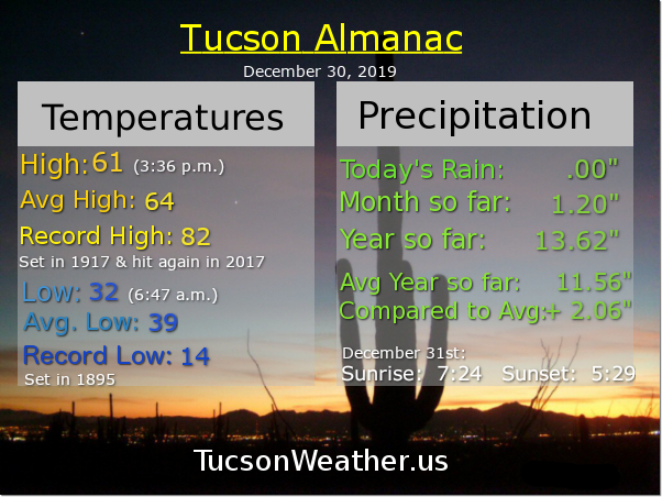
It’s the last day of 2019 and the last day of the 2010s!!! (twenty-tens? twenty-teens?) Where does the time go? The future. The time goes into the future. The last day of the year is always a good time to look back or at least recap. Since there is no rain in the forecast I can confidently say that we will end the year with 13.62″ of rain. That is just over 2 inches above average for 2019. Good job y’all! December really brought it home with 1.20″ this month. Since “forecast” is all about the future, let’s get into it. Instead of getting all Psychic Chloe on you and try to predict the entire new year, how about we just look at the next 7 days or so? Deal.

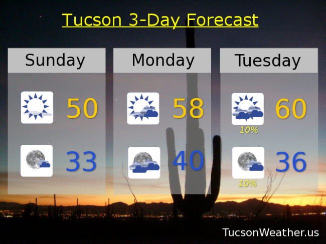
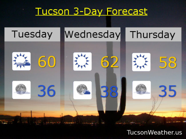
A system way off the Baja California coast is throwing some clouds our way. Those will decrease later today as the low sinks farther south and east. Call it partly sunny today with a high near 60ish.

Mostly clear tonight and, yes, chilly. (mmm Chili’s) with a low in the mid 30s to start 2020.

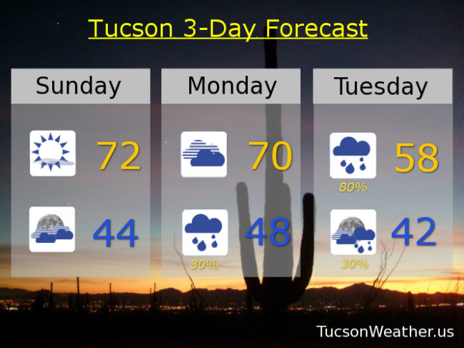
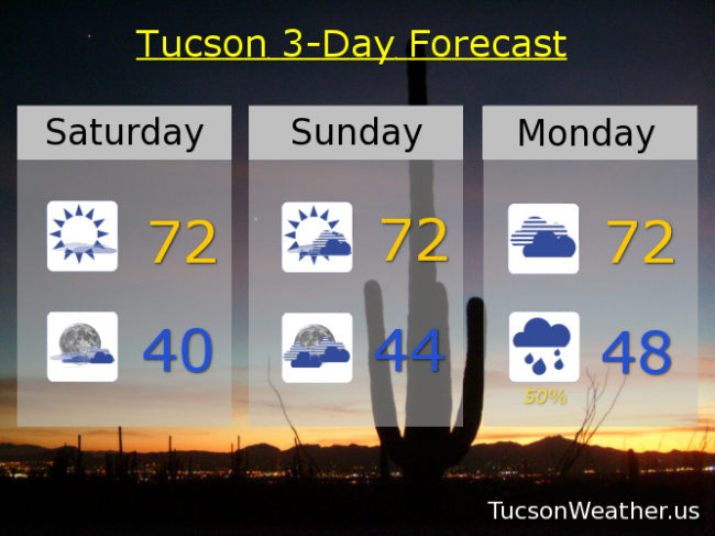
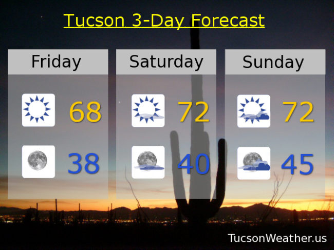
Sunny and cool tomorrow, but pleasant in the Sun with a high in the low 60s. A system missing us to the north and east may bring some breezes for Thursday and a bit cooler in the upper 50s. Warming up for the weekend! Low 60s Friday. Near 70ish Saturday. Low 70s Sunday! Upper 60s Monday. Have a prosperous and Happy New Year!!!

Forecast for Sunday, December 30, 2019

I’ve been complaining that the bluetooth mouse I purchased for my laptop broke. (I mean, it did. might have been helpful if I didn’t drop it like three times…) As a result, you have been stuck with random pictures, or screen shots of the National Weather Service’s forecast, instead of my patent pending, handy dandy 3-day Tucson Forecast graphic to go with your daily Tucson Weather forecast. No more!!! Time I (weather)man up! I am sitting at a Dunkin’ Donuts in Lubbock, Texas grinding out a forecast on my laptop complete with graphics sans mouse because I care! Also, it might be work avoidance. (maybe) I do have a ton of emails to get through this morning… but first!

Two systems headed close to our way. The first will miss us to the south and increase our clouds Tuesday and Wednesday with a slight chance for a shower. The second storm misses us to the north keeping us cool Thursday and Friday with best rain and mountain snow shower chances north and east of town.

The HARD FREEZE WARNING expired at 9:00 this morning and sure enough. Everything is frozen solid (cue the singing Olaf!). Not warming a whole lot today with sunshine and a high near 50ish.

Partly cloudy tonight near freezing. Partly sunny tomorrow upper 50s. Slight chance for a shower Tuesday near 60ish. Mostly sunny to start the New Year near 60ish ish. Mostly sunny Thursday upper 50s. Low 60s Friday. Mid 60s Saturday. Enjoy!

I’m leaving for Arizona from Texas early tomorrow morning for an 11+ hour drive. See you Tuesday morning!

Forecast for Sunday, December 22, 2019

It’s the Sunday before Christmas and folks are scrambling like mad. To buy last minute gifts to make people glad. The forecast was warm with a few high clouds. No need for a coat as you fight with the crowds. Here comes Santa Claus! and a storm or two or three. A white Christmas in Summerhaven and rain in the valley. The snow levels drop even lower next weekend. Let the rhyming stop and the forecasting begin!

You can always count on “‘Twas The Night Before Christmas” for inspiration for a cheesy morning poem 🙂 One last warm day with a few clouds this evening for possible sunset enhancement. Today’s high quite pleasant around 72.

Mostly cloudy tonight as our first storm approacheth and a low in the mid 40s.

Cloudy tomorrow 70ish. The rain and mountain snow begins Monday night with Tuesday being prime time. Maybe even a thunderstorm Tuesday afternoon to go with our showers. Valley locations expecting a quarter to a half inch of rain from storm numero uno. 4 to 8 inches of snow above 6,000 feet just in time for Christmas as our little poem expressed so cheesily. Tuesday’s high in the upper 50s.

A bit of a break Christmas Day and Boxing Day (Wednesday and Thursday), but still a chance for showers and cool. Highs both days in the upper 50s.

Next storm up on Friday! Partly sunny with showers and a high only in the low 50s. Snow levels down to 4,000 feet Saturday morning? Maybe! Becoming mostly sunny Saturday with a chance for showers and a high in the mid 50s. Early indications are that we will be stuck in this pattern into 2020! Stay tuned.

Forecast for Saturday, December 21, 2019

“Things” are fixin’ to get interestinger! A series of storms heading our way. Each colder than the one before. Rain and mountain snows just in time for Christmas and will continue into the new decade. But first…

A ridge of high pressure will bring a warm up this weekend even as the clouds increase as our first storm approacheth. Mostly sunny today low 70s. Partly sunny tomorrow low 70s. Cloudy Monday low 70s.

The rain should commence Monday night with rain likely Tuesday and a high in the upper 50s. Snow levels dropping to around 6,000 feet with a few to 8 inches of snow for a White Christmas in Summerhaven.

A bit of a break Christmas Day but still a slight chance for showers and a high in the upper 50s.

Storm number 2 will bring us an increasing chance for showers Thursday and Friday with snow levels dropping to near 5,000 feetish perhaps. Thursday’s high near 60ish and Friday’s high in the mid to upper 50s.

Storm #3 is beyond the 7 day forecast, but it looks colder and stronger. Right now it appears snow levels may crash down to 4,000 feet. It’s a ways away, so a lot to sort out as we get closer. Stay tuned!

Forecast for Friday, December 20, 2019

It’s Friiidaaay!!! Not just any Friday, but the Friday before Christmas! It’s a hustle and bustle weekend and the weather will be just fine. Clouds increasing starting tomorrow night as our first storm approacheth. By Monday night into Christmas Eve it looks like rain showers and snow showers above 6,000 feet. Not a ton of moisture, but maybe a quarter inch of rain for some around the metro and a few inches of snow for Summerhaven. A break in the action on Christmas Day, but we won’t be out of the woods yet. (were we ever in the woods?) More systems rolling through the rest of next week for more rain and mountain snow to pad our yearly above average totals! Grab some coffee and lets look at the particulars as we know them…

Chilly this morning (mmm Chili’s) with sunshine today warming to the upper 60s by this afternoon.

Jacket weather again tonight with a low in the upper 30s.

Mostly sunny tomorrow low 70s. Partly sunny Sunday low 70s. Mostly cloudy Monday near 70ish. Rain chances commence Monday night with a 50% chance on Tuesday high in the upper 50s. Partly sunny Christmas Day near 60ish. Partly sunny Thursday with a chance for showers near 60. Enjoy!