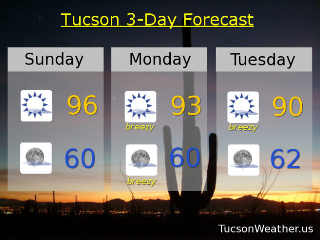
We hit 95 for the first time this year yesterday. A degree warmer today if the forecast comes exactly to fruition. High clouds from time to time for possible sunrise and sunset enhancement! Breezes for much of the upcoming week with cooling temperatures as storm after storm misses us to the north. The Thursday/Friday system will approacheth close enough to give the White Mountains a chance for showers while we remain dry here in Tucson. Enjoy!
Mostly sunny and a little bit breezy today with SW winds 5-15 mph and gusty and a high in the mid 90s.
Mostly clear skies tonight with a SSE breeze 5-15 mph and a low near 60.
Mostly sunny and breezy tomorrow with a FIRE WEATHER WATCH in effect from 11:00 a.m. until 7:00 p.m., so get ready to watch some fires. Just try not to be the one who starts it! WSW winds gusting over 30 mph and a high in the low 90s.
Mostly sunny and breezy Tuesday with a high near 90. Sunny Wednesday near 90. Breezy Thursday upper 80s. Breezy Friday mid 80s. Sunny Saturday upper 70s.