Category Archives: Daily Forecast

Forecast for Monday, December 18, 2017

‘Twas a week before Christmas and all through the house. The heater was running to keep warm the spouse. The stockings were hung by the chimney with care to keep them warm and dry because of the anticipated cold air. Yesterday was fun like my days growing up in Oregon. The end of this week looks even colder with each computer model run. It probably won’t snow or even rain, but Santa knows what he is doing from the mountains to the plains. Winter is here southern Arizona style. Prepare your parkas and your firewood pile. A brief warm up the middle of this week, but colder by Friday making happy weather geeks! So keep the parka handy and the hand warmers too. The coldest air of the season is coming for you!

Yesterday was fun! Almost half inch of rain at the airport (.48″) and hopefully at your house. A little less here in southern Oro Valley, but that’s how it goes sometimes. Clearing skies today but on the cool side with a high near 60ish.

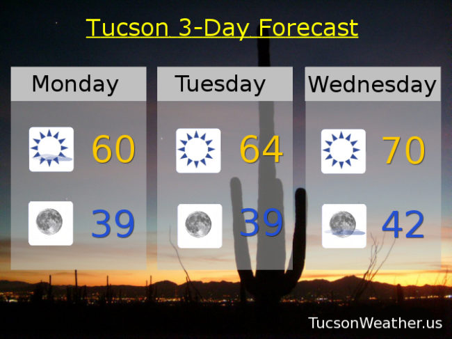
Clear and coldish tonight with a low in the upper 30s.

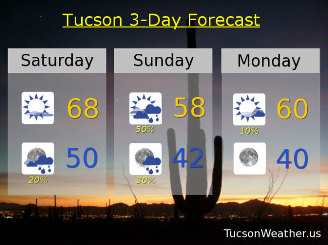
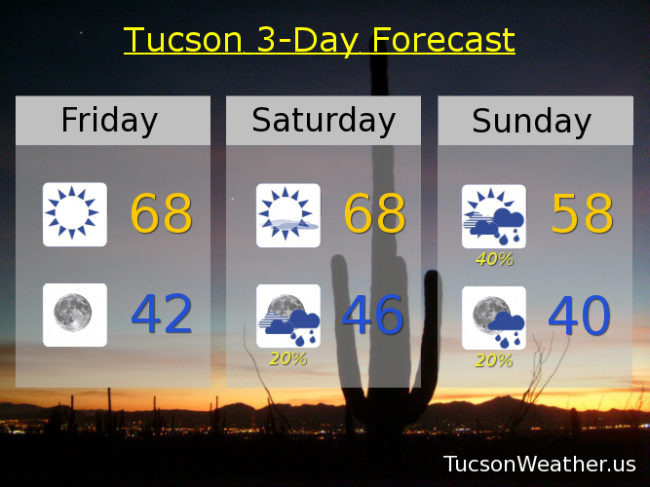
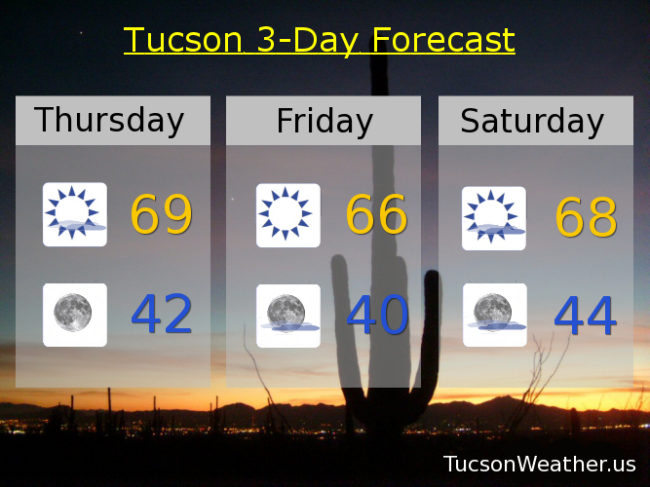
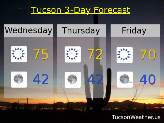
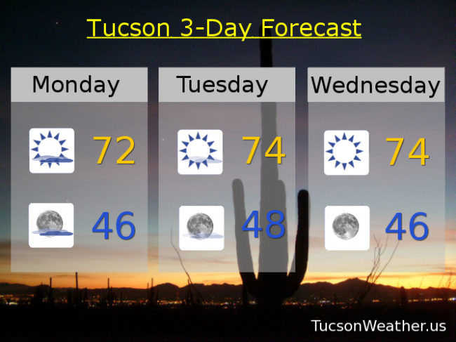
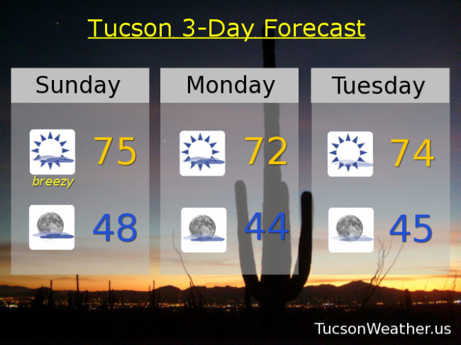
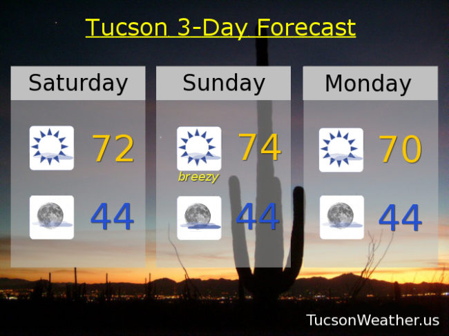
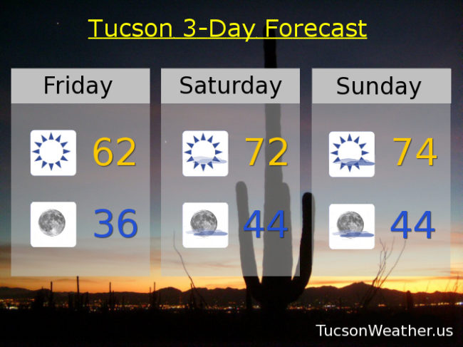
Sunny tomorrow mid 60s. Near 70 Wednesday. Upper 50s Thursday. Mid 50s Friday. Low 60s Saturday. Upper 50s Sunday. Friday morning’s low in the upper 20s!

Forecast for Saturday, December 16, 2017

All systems go for a Winter storm to hit SE Arizona! Clouds should be on the increase later today as the system approacheth. The storm is expected to pull moisture northward from the Gulf of California with slight rain chances starting as early as tonight. The main event will be Sunday with a good chance for showers and maybe a thunderstorm as the low moves through along with a cold front in the afternoon. A WINTER WEATHER ADVISORY has been issued for 1 to 3 inches of snow between 5,000 and 6,000 feet, 4 to 8 inches above 6,500 feet and 8 to 10 inches is possible in some areas above 7,500 – 8,000 feet. Be advised. Winter weather is expected in the mountains. Valley locations can expect .10″ – .30″ of rain with higher amounts possible with a thunderstorm if that happens, hopefully near you. Good times! The storm exits stage east Monday morning leaving us with sunshine and seasonably cool temperatures for much of next week. We are watching another storm that may arrive in time for Christmas weekend. Stay tuned!

Increasing clouds today with a high in the upper 60s.

A 20% chance for rain showers tonight with a low near 50.

A 50% chance for showers tomorrow with a thunderstorm possible and a high near 58.

Decreasing clouds with a slight chance for a morning shower Monday and a high near 60. Sunny mid 60s Tuesday. Near 70ish Wednesday. Low 60s Thursday. Upper 50s Friday.

Forecast for Friday, December 15, 2017

Rain and mountain snow in the forecast?! Yes! A system dropping south along the California coast will turn the corner and head our way for the weekend. Prime time looks to be Sunday with valley rain and snow levels dropping to near 5,000 feet. How much could we get? Maybe a quarter of inch, perhaps more. A few inches of snow in the mountains, especially above 6,000 feet. It’s beginning to look a lot like Christmas! Another system may be moving our way by the end of next week. Stay tuned!

Sunny today with a high in the upper 60s.

Mostly clear tonight with a low in the low 40s.

Mostly sunny tomorrow with a high in the upper 60s. Rain showers for Sunday upper 50s. Sunny Monday low 60s. Upper 60s Tuesday. Near 70 Wednesday. Upper 60s Thursday.

Forecast for Thursday, December 14, 2017

“Things” are getting interesting! The computer models aren’t in complete agreement yet, but it looks like we may (may) see some rain perhaps on Sunday. First things first. A system diving out of the northern Rockies will be missing us to the north and east on its way to the Four Corners and into New Mexico. A few more clouds today as a result and cooler temperatures in the upper 60s to near 70. Cooler tomorrow with sunshine mid 60s. More clouds as our next system or systems approacheth Saturday with a high in the upper 60s. Here’s where it gets complicated and the models don’t yet agree. We will see another system moving in from the NW that will bring us cooler air. What isn’t certain is if a low off the Baja Coast will get involved. IF it moves our way and gets pulled into the first system it may bring the moisture we need for some showers on Sunday. Right now the National Weather Service has introduced slight chances into the official forecast. It could be more or none at all. We’ll all just have to stay tuned!

Slight chance for showers Sunday low 60s. Sunny Monday mid 60s. Near 70 Tuesday. Low 70s Wednesday.

Will there be another system by the end of next week? Stay tuned some more again!

Forecast for Wednesday, December 13, 2017

The forecast is trending cooler than thought yesterday which is good news for you trending  cooler folks. Not to worry you warm mongers, we’ll be warming up again next week and today and tomorrow will be nice. High pressure moving to the west will open the door for a couple of systems to miss us to the north and east as they dive out of the northern Rockies into New Mexico. We’ll stay dry, but cooler air will move in behind each one. The first system will breeze by tomorrow and the second Sunday/Monday. The high pressure builds back in for a warming trend the rest of next week. Enjoy!

Sunny today and warm after a cool start. Today’s high near 75ish.

Clear tonight with perfect viewing conditions for the peak of the Geminid Meteor Shower. Low near 42.

Sunny and cooler tomorrow and Friday with highs in the low 70s to near 70 respectively. Mostly sunny near 70 Saturday. Upper 60s Sunday. Near 70 Sunday. Low to mid 70s Monday.

Forecast for Monday, December 11, 2017

73 has been our high for the last two days. Expect similar readings for the next few at least. A low over the Baja Peninsula will slowly drift east over northern Mexico continuing to feed high clouds into southern Arizona for possible sunrise and sunset enhancement. Clearing skies by Wednesday as high pressure over the west rules to roost. We’ll continue with highs in the low to mid 70s into next weekend with lows in the mid to upper 40s. Enjoy!

Forecast for Sunday, December 10, 2017

An upper level low just off the coast of Baja California will be tracking just to our south over northern Mexico tomorrow through Wednesday bringing plenty of high clouds with it for possible sunrise and sunset enhancement. Rain chances confined to northern Mexico and maybe southern Cochise county, but we will stay dry here in the metro. Breezy today with ESE winds 10-20 mph gusting to around 30 with a high in the mid 70s. That’s 10 degrees above average for this time of year! The clouds overnight will keep some of the “heat” from escaping into space (echo space… space.. space..) so lows not as low. Upper 40s to start the day tomorrow. That’s about 9 degrees above average for this time of year. Clouds start to thin Tuesday into Wednesday. Highs in the low to mid 70s. Sunny Thursday, Friday and Saturday with highs in the mid 70s and lows in the mid 40s. Enjoy!

Forecast for Saturday, December 9, 2017

A warming trend this weekend as high pressure gains strength over the west. Very pleasant this afternoon after a chilly start (mmm chili). A bit breezy this afternoon with east winds 10-15 mph and gusty and a high near 72. A low will move through Mexico tomorrow giving the southern half of Cochise county a slight chance of light rain. For us it means a bit more of a breeze and a few more clouds for possible sunrise and sunset enhancement and a high near 74ish. Mostly sunny Monday near 70. Mid 70s Tuesday, Wednesday, Thursday and Friday.

Forecast for Friday, December 8, 2017

We survived the near freeze of December 8, 2017! I’m sure plenty of folks dipped to 32 or less, but so far this morning the low at the airport is 36. In national news, my son got snow last night in San Antonio, Texas! Very rare. It also snowed in Houston and into Louisiana and Mississippi. Lucky jerks!Meanwhile, back at the ranch, we are looking for a warming trend into the weekend. Just low 60s today, but low 70s tomorrow. Mid 70s Sunday. Low 70s Monday and Tuesday. Mid 70s Wednesday and Thursday. Enjoy!