Looks like 28 for our official low this morning!
With all this weather excitement I find myself springing out of bed and racing to my comput… wait. Scratch that. Racing to my kitchen to make coffee and THEN to my computer to see what the weather updates are saying. The New Year’s Eve/New Year’s Day storm is on track. BUT (there’s always a but) there are differences between the computer models. Enough to leave a bit of uncertainty (which is why we love weather!). I’ll just steal from the National Weather Service Forecast Discussion from this morning at 4:25 (your taxpayer money at work) to help sort “things” out. Basically they are splitting the difference between two models. One that is trending a bit stronger and wetter. The other not as much of both. These snowfall amounts and levels are a ballpark compromise and you can imagine how a small difference either way can make a big difference in the actual weather we get to experience. My hat (cap) is off to them. They really do a great job!
Prime time will be New Year’s Eve into New Year’s Day. Snow levels and amounts tentatively look like this: 3,000 – 4,000 feet: dusting to an inch. 4,000 – 5,000 feet: 1 to 3 inches. 5,000 – 7,000 feet: 3 to 5 inches. Above 7,000 feet: 7 to 14 inches. Expect the National Weather Service to issue winter headlines by this afternoon as more data comes available later today.
After the storm 2019 will be off to a cold start! Lows back in the 20s Wednesday morning and near 30ish Thursday morning. There will be a warming trend with highs actually right around average by Friday and Saturday! Beyond the 7 day forecast looks interesting with another storm or two perhaps in our early January future. They look much warmer but it’s a ways out. Stay tuned!
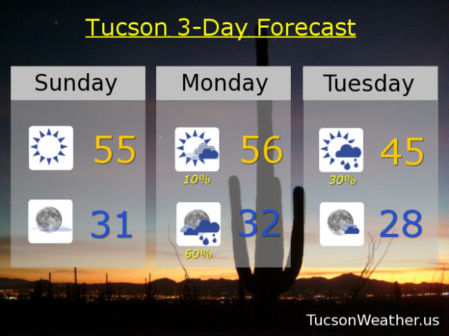
Sunny today with a high in the mid 50s. Clear tonight freezing. 10% chance tomorrow mid 50s. 60% chance New Year’s Eve near freezing. 30% New Year’s Day mid 40s. Sunny Wednesday near 50ish. Upper 50s Thursday. Mid 60s Friday and Saturday. Enjoy!